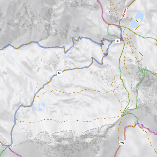
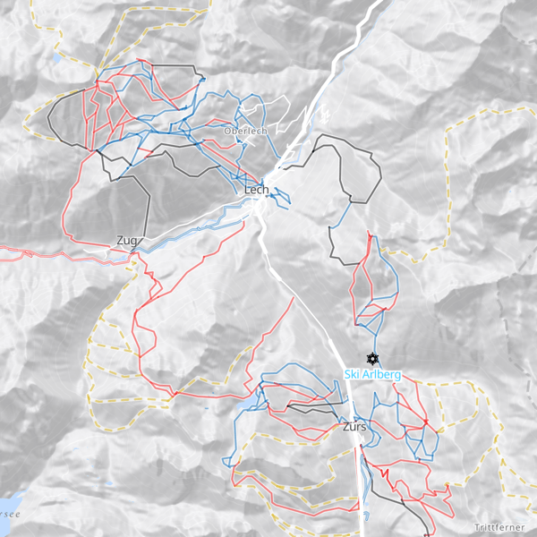
Vector and raster tiles
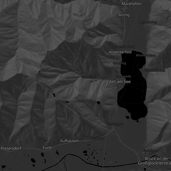
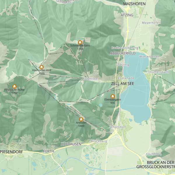
Maptoolkit maps are among the most beautiful, complete and useful digital maps on the the market. We have been continuously optimizing our cartographic schema since 2013.
- Weekly data updates from OpenStreetMap
- Worldwide coverage
- High-resolution hillshading, 3D terrain and contour lines
- Optimized for tourism and outdoor sports
- Vector tiles, raster tiles and static maps
- Fully customizable map styles, add your own geo data
- Printable maps with layers, for Adobe Illustrator and Photoshop
Vector Tiles
Our cartography has been based on vector technology since April 2016, making it up-to-date with the latest in online cartography. Unlike raster maps, vector maps are rendered directly on the device (in the browser or app).
Advantages
- Smaller Downloads
- Seamless & continuous zooming
- Rotate and tilt while labels remain readable
- Customizable map styles
- Retina-maps
Map styles
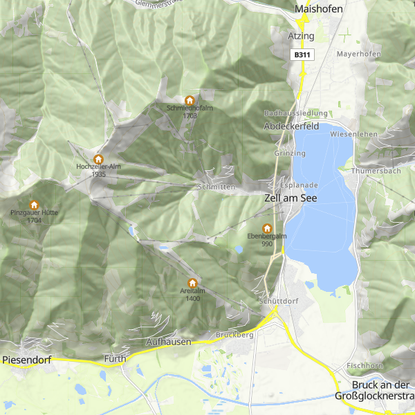
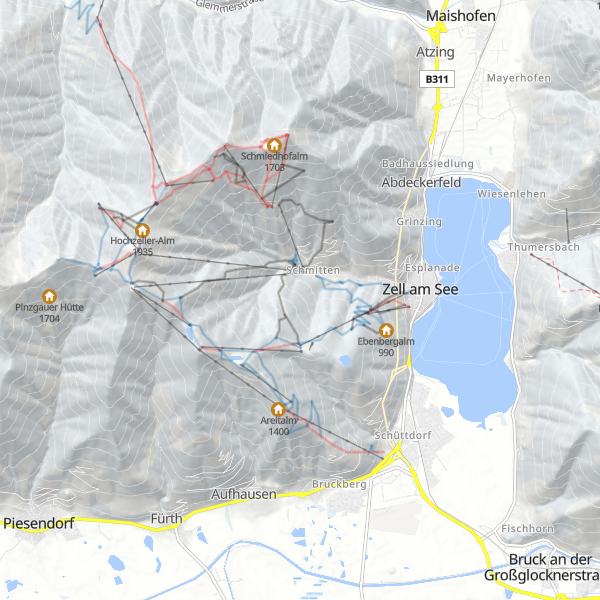
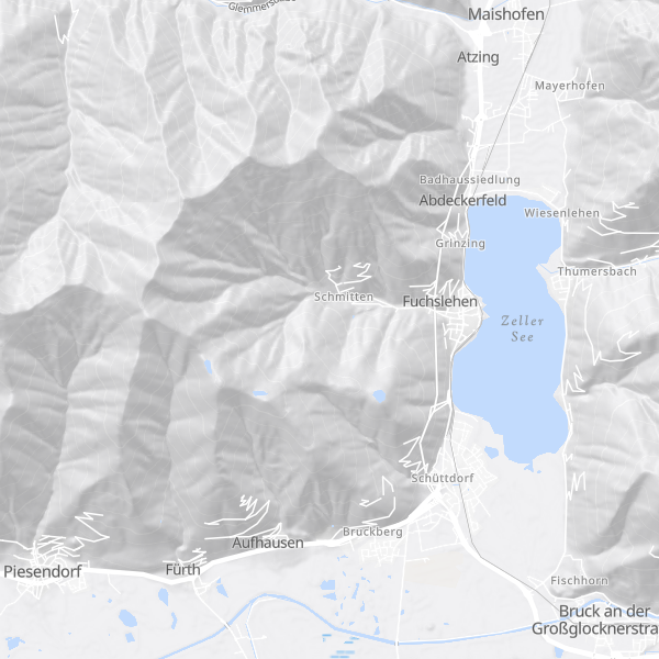
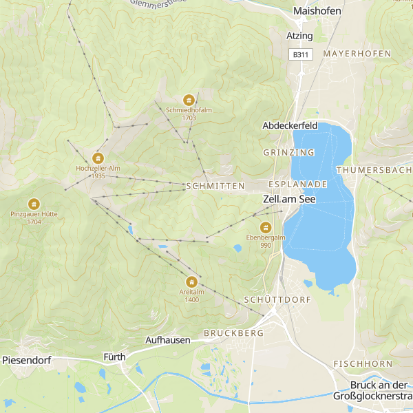
Maptoolkit comes with several professionally and well-designed map stiles for many use cases. If you want to create a custom style to match your corporate design or with special requests, this is also possible with our style editor. All those map styles (incl. your custom) are also available in the Static Maps API.
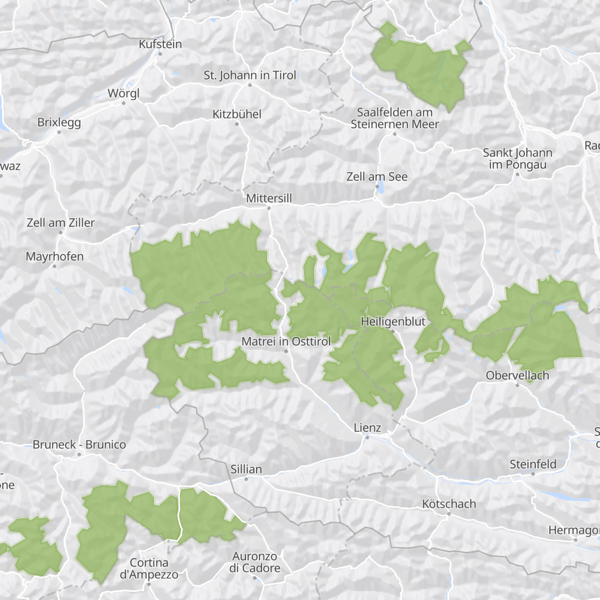
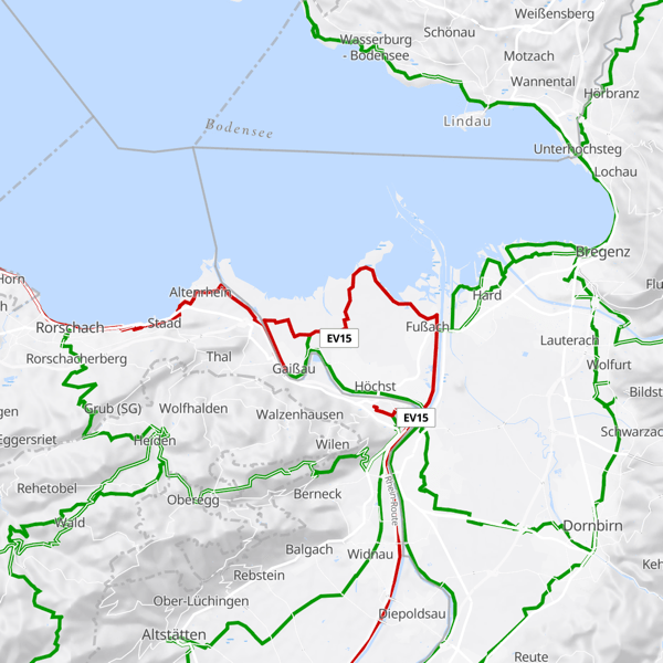
Advanced feature: It is also possible to include your own data in your map style.
Maptoolkit maps are based on OpenStreetMap data, combined with addition data from different sources especially elevation data to visualize hillshading and contours.
Also maps from other sources are possible if needed. An example is Satellite imagery from your regional surveyor's office or other sources (e.g. also Google Maps).
One more thing: 3D
Maptoolkit is not only ready for flat (2D) maps, but also for 3D. This needs no additional plugins or annoying preloading - just press the 3D button or tilt the map and see mountains or buildings.
This includes all map styles and overlays.
Example
We're here to help.


