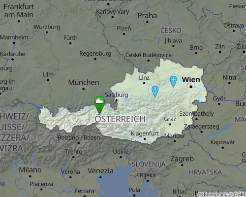
Static Maps API
Create images of maps via a flexible URL interface
Need to create fast loading map images for your application, web project or PDFs? That’s what the Maptoolkit Static Maps API is for. It delivers stunning cartographic images – including your own geo data and map style. (Looking for high-res, printable maps? See our Printmaps API.)
Features
PNG, JPEG, or WebP, in web or retina resolution
Your own map styles & your own geo data possible (Enterprise only)
Blasting fast – cached in 275 data centers on all continents
Based on Vector Cartography – with full flexibility on map styling
Cartographic languages supported: English, German, Spanish, French, Italian, Chinese
Easy migration from other Static Maps providers do to simple and standardised syntax
Enterprise license allows for storage in your CDN and for usage in PDFs
Popular Use Cases
- SEO landing pages, optimised for loading speed
- Map images for POI or route listings
- Maps as default pictures for POI or route databases
- Webpage header images for geo-referenced landing pages

Our Pricing Model

Flexible pricing that scales with you.
Start with our free tier, pay per request on RapidAPI as you grow, or choose an Enterprise license for full access.
FAQ
The Static Maps API is a simple URL interface. You define the size, location, and look and feel of the map via http parameters.
As an Enterprise customer, you can use your custom map style(s) for the Static Maps API. Custom markers can be added as parameters.
Yes, you can add custom content to your static map. Please check the documentation for an overview.
Yes. This can be done by simply setting the ‘factor’ parameter to 2.
Static maps are used when you need a fixed, non-interactive map for lightweight websites or print materials. They are ideal for showing locations, routes, or coverage areas without requiring an interactive map viewer.
Yes, however this feature is reserved for Enterprise customers.
We’re here to help

My name is Peter Höflehner and I will be your
project- and key account manager.
